HGV satnav use proves a Commons concern
 A recent debate between MPs in Westminster Hall focused on the topic of the use of satellite navigation systems by HGV drivers – resulting in lorries taking inappropriate routes leading to safety concerns, and damage to roads and buildings.
Opening the debate, Craig Mackinlay, the Conservative MP for South Thanet, said that, “despite a number of years considering the problem and despite the numerous initiatives, the problem persists, and it is my contention that it is getting worse and more widespread than ever.”
He continued: “The A257 Sandwich to Canterbury road suffers from inappropriate HGV use, and, importantly for the historic fabric of our nation, there are far too regular occurrences of economic standstill in the historic town of Sandwich as inappropriate vehicles that have absolutely no cause to be there become literally stuck, sometimes for hours.”
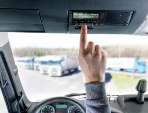
Key to the problem, Mr Mackinlay contended, was the use by HGV drivers of cheaper satnavs designed for passenger cars, which he said was “all too common”.
“That is compounded by smartphone software that is designed for car use only and, overlaid on that, the use of out-of-date map data that are perhaps downloaded illegally or from dubious sources,” he continued.
“I am pleased to say that the problem is not largely seen across the UK lorry fleet. I pay tribute to the Freight Transport Association (FTA) for its attempts to encourage its 15,000 members to buy HGV-compliant devices…”
“I do not particularly want to single out foreign drivers as the main culprits, but the example I want to present is from Sandwich in my constituency… A common excuse is usually advanced, and it always runs something like, “Oh, my sat-nav told me to.” After that, there is often a mad struggle for Google Translate to solve the communication problem.”
In considering how to resolve the issue, he said: “I do not propose the mandatory use of satnavs so that they have to be carried by HGVs, but I suggest that, if they are used at all, they should be compliant and suitable for the vehicle or else face potential forfeiture once found not to be appropriate.
“I have encouraged Kent County Council’s highways authority, and I would do the same for all highways authorities, to ensure that maps of Kent that clearly highlight strategic road routes that should be used, and clearly mark the towns and villages that should be avoided, are provided free at ports of entry.
“With the implementation of an Operation Stack truck-stop solution coming to Kent in due course, providing such maps could serve a useful double purpose.”
He also called for greater use to be made of 2011 legislative changes, which allow local authorities greater freedom over the placement of advisory traffic signs.
He said: “As a government we could encourage data standards for the submission of data by the highways authorities to the mapping companies, because those companies are key. It is frustrating that all the data are known for every road in the country—be it heights, widths or road changes—but they are not being appropriately consolidated and provided to the mapping companies.
“I recommend a benchmark standard for the satnav manufacturers and software providers to which they should be encouraged to adhere. The benchmark would include—this is the key—a mandatory lorry option across every single device.”
Concluding, he also advocated “a widening of local authorities’ civil powers to levy fines outside of the police’s powers”.
Transport minister Claire Perry responded for the government.
“It is in no one’s interest for HGV drivers to make the wrong decision or to rely on inaccurate information,” she said.
“We heard tellingly and powerfully this afternoon what happens when things go wrong: tight corners; historic houses; and congestion. We have all seen the jack-knifed lorry that tried to get through the tight road bridge.”
“Consequently, we have been very assiduous in this area, particularly in linking freight associations, local authorities and sat-nav companies to ensure that responsible HGV drivers are aware of the issue and have the latest information available to them.
“Indeed, properly equipped lorry drivers now have the tools to avoid low bridges and narrow lanes, and of course that saves them fuel, time and money.”
She added: “The government are taking direct action now to improve the quality and sharing of transport data; £3 million has been dedicated to create a digital road map that will enable better data sharing between local authorities and service providers. The map is being developed by the Ordnance Survey and it will be launched later this year.
“It will include information such as road widths, traffic calming measures, and height and weight restrictions, which could then be linked to other public sector data sets, such as planned road works and cycle paths.
“Unlike some of the Ordnance Survey data in the past, I believe that this will be open data, so it can be taken up by the various providers of information to the mapping companies.”
Ms Perry appeared to shy away from suggestions of making it mandatory for HGVs with satnavs to have “fit-for-purpose” devices, however, saying it could “lead to a sort of slightly dystopian world of lots of checks and balances, with organisations set up to do in-cab checks, and that is entirely what we do not want to deliver.”
Closing the debate, Mr Mackinlay urged satnav manufacturers and software designers to “please put on that little lorry symbol”, similar to how satnav users can currently choose to navigate using car or pedestrian routes.
“I realise that that would be a commercial decision… but it would solve, at a stroke, many of the problems.“


